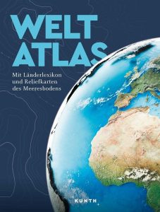
KUNTH Weltatlas
 Das umfassende Nachschlagewerk präsentiert die Welt in topaktuellen Karten von Kontinenten, Ländern und Weltmeeren. Das umfangreiche Register erleichtert die Orientierung, und das aktuelle Länderlexikon informiert zu allen Staaten der Erde. Faszinierend sind die Bergwelten unter Wasser, die mit den Meeresbodenkarten sichtbar werden. Eigens entwickelte Piktogramme verhelfen zu einem schnellen Überblick über Lage und Ort von herausragenden Naturlandschaften und Kulturmonumenten.
Der Weltatlas ist ein treuer Begleiter für kleine und große Weltvermesser, die in der Schule, im Studium oder in Beruf und Freizeit die Welt erkunden und mit dem Finger auf der Landkarte verreisen möchten.
Von Überblickskarten und Detailkarten bis hin zur 3D-Darstellung des Meeresbodens und ein vollständiges Länderlexikon.
KUNTH Weltatlas
216 Seiten, gebunden
Format: 25 x 33 cm
Kunth Verlag
Euro 22,95 (D)
Euro 24,95 (A)
ISBN 978-3-96965-136-0


